Multichannel UHR marine reflection seismic is one the most widely used methods for geohazard assessment and detailed stratigraphic surveys. Comparing to single channel data, multichannel data has significantly wider range of available seismic processing procedures, such as velocity model building, multiple attenuation, multichannel denoise processing techniques and pre-stack migrations. Generally, this would result in deeper and more accurate seismic images.
Modern ultra-high resolution surveys are tend to map objects within 0.5 m bin size and hence impose challenging requirements to the acquisition array, such as stable broadband source signal, high density shooting interval, registration of wide frequency range, towing depth control, accurate GPS positioning and others.
Our advanced multichannel setup designed to acquire high quality UHR data within required specifications.
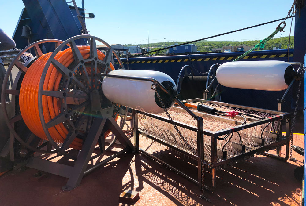
Array includes following equipment:
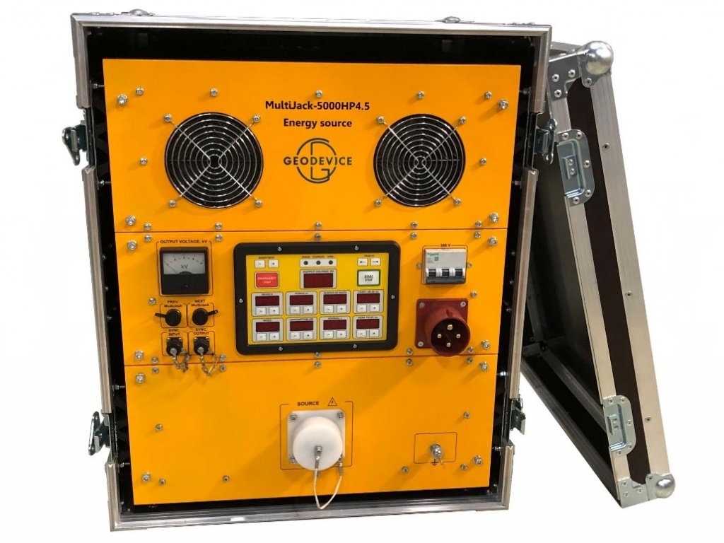
- Energy source: MultiJack-5000
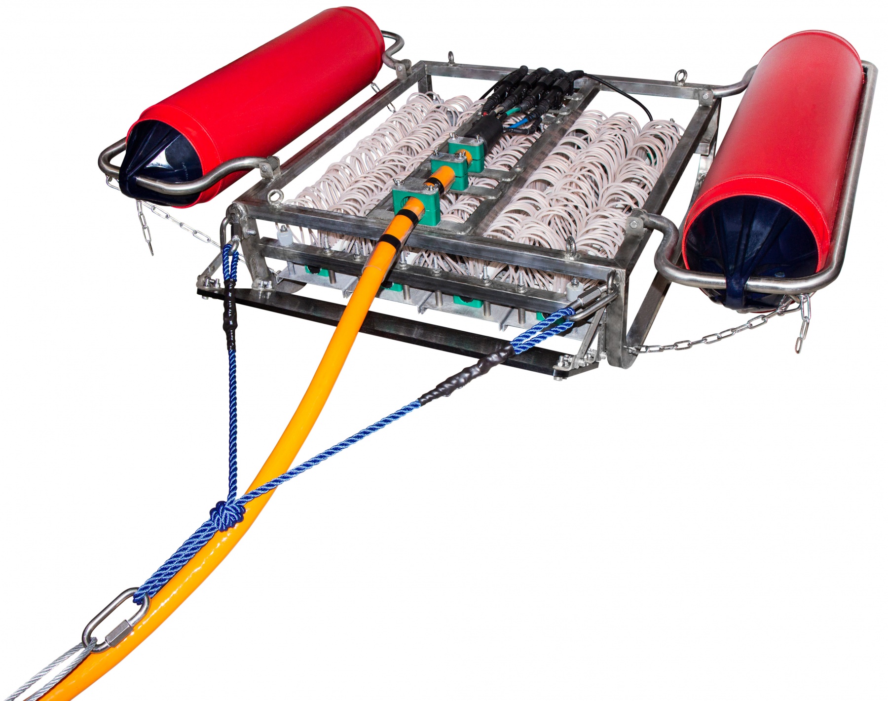
- Source: SWS 500
- Streamer: 48 channel streamer Group separation: 3.125/2/1
- Recorder: Sigma-4 seismograph
- Winch: Automatic deck winches for power HV cable and streamer
- Software: RadExPro Real-Time
Typical array applications are:
- Geohazards assessment (shallow gas, faults, man-made features)
- Boulder detection for renewable installation
- Detailed stratigraphy studies
- Regional oceanographic studies
Key features:
- Applicable for all modern types of HR/UHR seismic surveys
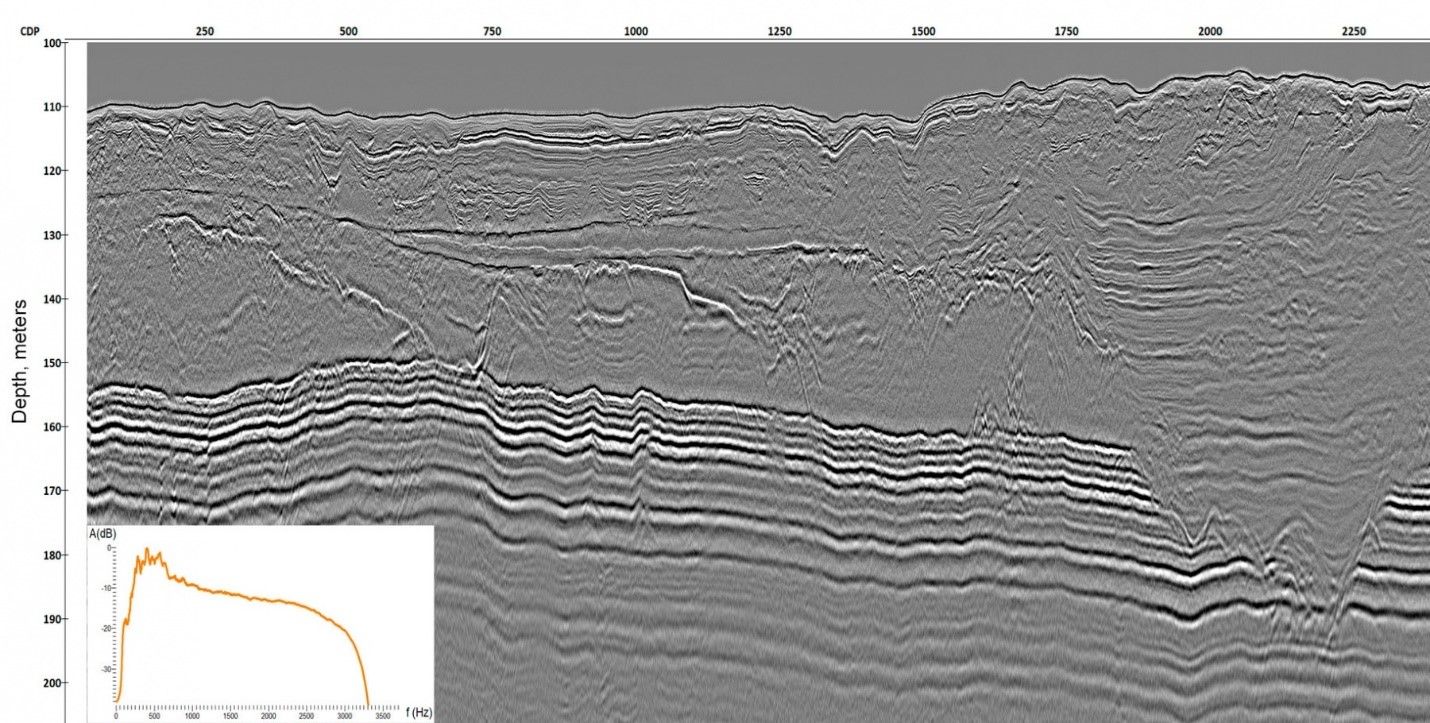
- Stable and broadband signature up with vertical resolution up to 10 cm
- High density shooting interval (up to 3 shots/sec)
- Operational water depth up to 1500 m
- Penetration depth up to 500 m below the seabed
- Streamer towing depth control
- Accurate GPS positioning